Gerhardt Mercator
 France
- Biography of Gerardus Mercator
- Early Life and Education
- Arrest and Later Life
- Accomplishments and Legacy
Biography of Gerardus Mercator
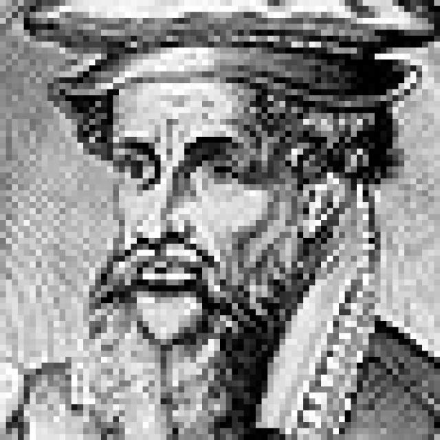
Gerardus Mercator, a Flemish cartographer and geographer, was born on March 5, 1512, in Rupelmonde, East Flanders, which is now part of Belgium. He is most famous for his cartographic projection, which bears his name. Mercator was the first to use this cylindrical projection for creating a navigational map of the world on 18 sheets in 1569. The Mercator projection is known for preserving angles and shapes on maps, while only maintaining accurate distances along the equator. This projection is still widely used today for creating maritime and aeronautical charts. Although it has been discovered through modern historical-cartographic research that this projection was already used in 1511, it gained widespread use thanks to Mercator.
Early Life and Education
Mercator initially studied in Hertogenbosch, which is now in the Netherlands, and then attended the University of Leuven, which is now in Belgium. He became a student of the geographer and engraver Rainer Gemma Frisius. After graduating from the university in 1532, Mercator worked with Gemma Frisius on creating globes of the Earth and the Moon. He also crafted precise optical instruments and taught geography and astronomy. In 1537, Mercator published a map of Palestine on six sheets, and in 1538, he created a map of the world, where he first showed the location of the southern continent, whose existence had long been a subject of doubt. These two works established Mercator's reputation as an outstanding cartographer, and he was commissioned to create a map of Flanders, which he completed in 1540. The following year, the Holy Roman Emperor Charles V tasked Mercator with making a set of astronomical instruments. In 1541, Mercator created a globe of the Earth, and ten years later, he made a globe of the Moon, which he presented to Charles V.
Arrest and Later Life
In 1544, Mercator, who sympathized with the Protestants, was arrested on suspicion of heresy but was soon released. Fearing for his safety in Catholic Flanders, he accepted an offer from the Duke of Cleves-Jülich-Berg and relocated to Duisburg, Germany, in 1552.
Accomplishments and Legacy
In 1544, Mercator published a map of Europe on fifteen sheets. On this map, he correctly depicted the outline of the Mediterranean Sea, correcting errors that had persisted since the time of the ancient Greek geographer Ptolemy. In 1563, Mercator created a map of Lorraine, and in 1564, he made a map of the British Isles on eight sheets. In 1569, Mercator published "Chronologia," a review of astronomical and cartographic works. Three years later, he released a new map of Europe on fifteen sheets, and in 1578, he engraved maps for a new edition of Ptolemy's "Geography." He then started working on an Atlas, a term that Mercator himself coined to refer to a collection of maps. The first part of the Atlas, containing 51 maps of France, Germany, and Belgium, was published in 1585. The second part, which included 23 maps of Italy and Greece, was released in 1590, and the third part, with 36 maps of the British Isles, was published after Mercator's death by his son Rumold in 1595. Mercator passed away on December 2, 1594, in Duisburg.