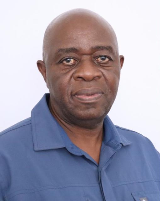
Taruwona Makaza
- Educated Journey in Geodetic Engineering
- Early Career in Surveying
- Professional Advancements and Global Experience
- Contribution to Education and Research
Educated Journey in Geodetic Engineering
Taruwona Makaza embarked on his academic pursuit at the University of New Brunswick, where he obtained a Bachelor of Science in Engineering degree focusing on Geodetic Engineering. To further enhance his knowledge, he also completed a Postgraduate Diploma from the National University of Science and Technology.
Early Career in Surveying
In 1982, Makaza initiated his professional journey as a trainee surveyor at the Surveyor General's Office in Zimbabwe. His initial responsibilities involved land surveying and planning before he later relocated to Canada to pursue his academic studies.
Professional Advancements and Global Experience
Upon returning to Zimbabwe, Makaza joined the Surveyor General's Office and became a registered land surveyor in 1990. His career led him to Gaborone, Botswana, where he worked as a professional surveyor until 1996. During this period, he conducted cadastral, topographical, and control surveys for various projects including geophysical and hydrogeological studies.
Contribution to Education and Research
In 1996, Makaza moved to Namibia, where he joined the Chief Directorate of Survey and Mapping in Windhoek. After retiring from public service in 2007, he transitioned to academia, taking up the position of Deputy Registrar at the Polytechnic of Namibia.
Makaza's research interests encompass the application of satellite techniques in surveying and the use of unmanned aerial systems for mapping.